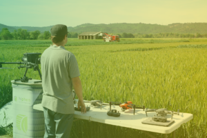
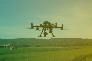
TIPS & ADVICES TO ACQUIRE RESEARCH-GRADE IMAGERY FROM DRONES
Here, you will discover some tips about all the process & the equipment to acquire research-grade imagery from drones.
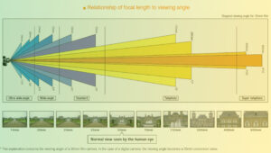
All you need to know about focal length
Focal length is an important factor to bear in mind since it influences the viewing angle and therefore the ground...
Read MoreAll You Have To Know About Take-Off & Landing Zone
Once in the field, you will have to choose the take-off and landing zone. In this lesson, we help you to...
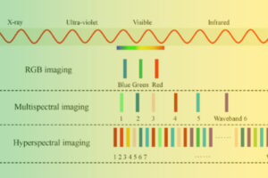
Read MoreAll You Need To Know About Multispectral & RGB Sensors
RGB and Multispectral sensors are the most common choices of sensor equipment for drone remote sensing. There are some differences...
Read MoreAll The Material You Have To Use For Multispectral Acquisitions
For multispectral acquisitions, you need to fix several parameters. The first one is the radiometric surface and the second one is...
Read MoreAll The Weather Conditions You Have To Check Before Your Drone Flight
The first step to prepare your flight is to check the weather conditions because they are so important to get...
Read MoreAll the agronomic traits that can be acquired with drone imagery
A summary of some of the most important traits we compute routinely at Hiphen on a wide variety of crops....
Read MoreLearn how to set up camera parameters
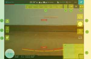
In this lesson, we will talk about all the camera parameters in the GS Pro app and how to align...
Read MoreDiscover the data processing steps taken care of by Hiphen
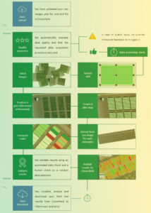
Cloverfield is Hiphen’s online web app used by plant breeders, producers and researchers worldwide to make sense of their plant...
Read MoreDiscover How To Record The RTK GPS Coordinates Of Each GCP
After having selected the number of GCPs adaptated to the size of the field and after having positioned them in...
Read MoreDiscover An Overview Of Drone & Sensor We Recommend
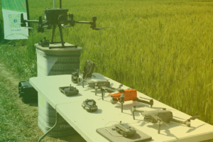
Get in mind that the best equipment selection depends on the type of assessment you want to make. Equipment may...
Read MoreLearn How To Preview The Quality Of Images
It is highly important to check the data quality all along the flight on the tablet’s screen and also right...
Read MoreDiscover how to format and share your GCP coordinates
GCPs are critical to automate data processing and ensure data accuracy and temporal analysis. After carefully following the guidelines about...
Read MoreAll You Need To Know About Flight Parameters Set Up
To achieve the desired drone data quality, there are several factors and parameters to consider carefully when preparing your mission....
Read MoreDiscover how Hiphen helps CGIAR to digitize their breeding program
In this success story, Alexis from Hiphen and Vincent Vdaez from CGIAR talk about how Hiphen and helped CGIAR to...
Read MoreDiscover A Real-Life Evaluation Of A Drone Flight Data Quality
One aspect of providing you with a hassle-free experience that is dear to our heart is to share immediate feedback...
Read More
